Waldeck’s mobile mapping solutions offer an alternative to traditional survey and reporting methodology, making the focus ease of communicating across projects and businesses.
How we can help
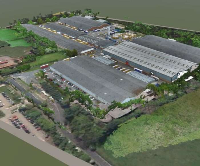
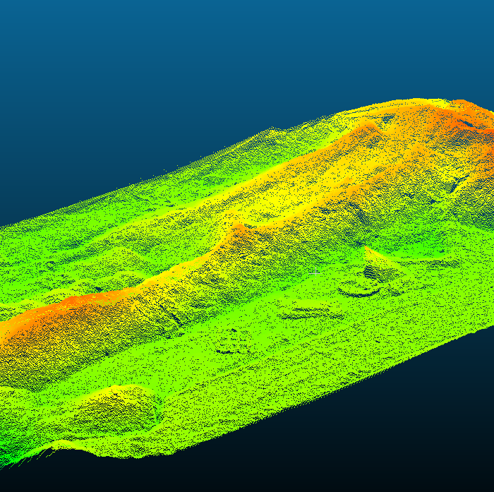
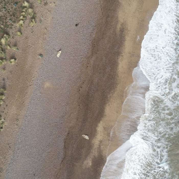
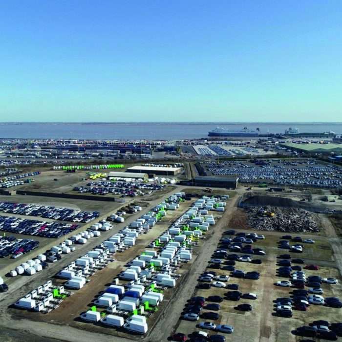
Incorporating the latest 360-degree cameras, sensors and drones, Waldeck are able to provide a range of visualisations from single high-resolution images, to fully immersive virtual tours with embedded structural reporting.
Our team work with our clients to understand their particular project requirements, making sure we use the best technology to deliver their requirements through the use of:
- 360-degree Photography
- Google Street View
- High Resolution Photography
- High Resolution Videography
- Virtual Tours
Benefits
The benefits of using mobile mapping on a project include:
- Communication of traditional reports in an easy to use and visual format
- Hostable on websites and intranets for easy access from mobile devices
- Immersive solutions
- Include images, video and documentation to enhance virtual tour environments
- Software agnostic solutions
- The ability to showcase your business or project